Develop a sustainable and attractive territory thanks to the IoT
A connected territory will include all the actors of a territory in its digital transformation: municipalities, metropolises, unions, local elected officials, companies, citizens, etc. The objectives of a connected territory are to maintain and improve the quality of public services while accelerating the energy and ecological transition and meeting the needs of citizens.
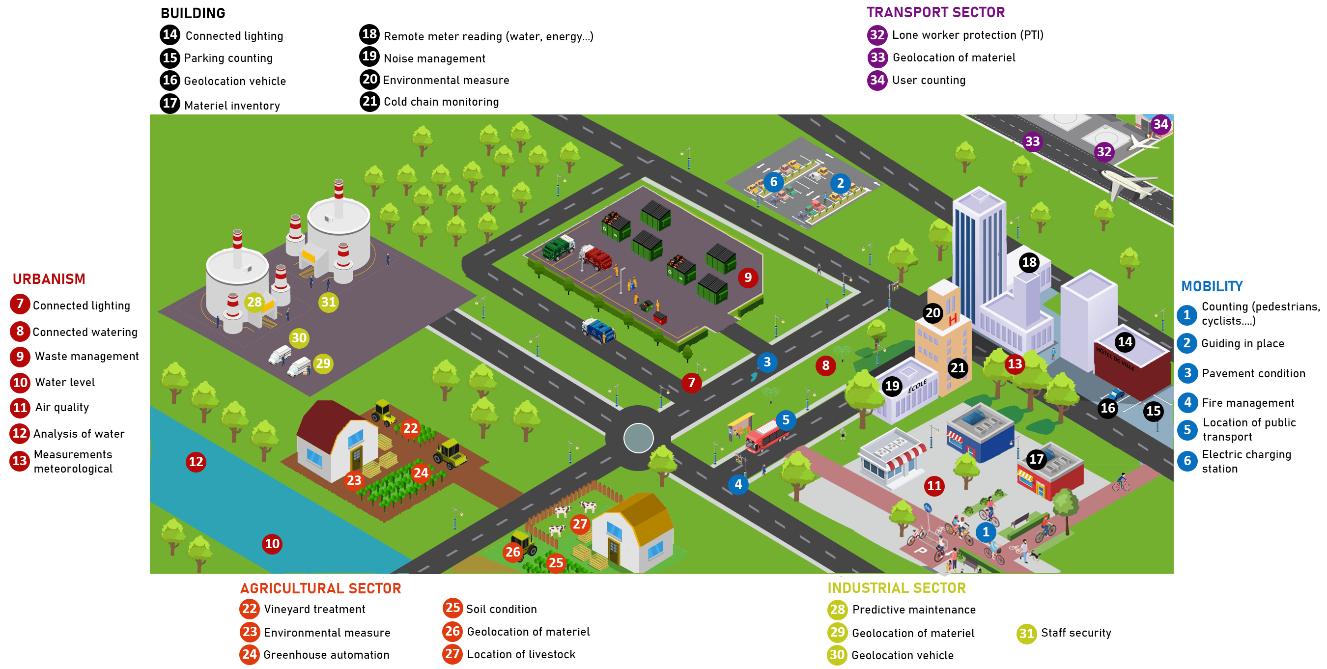
Mobility
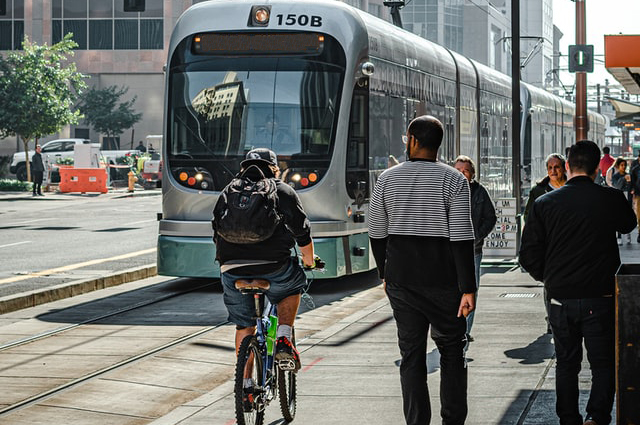
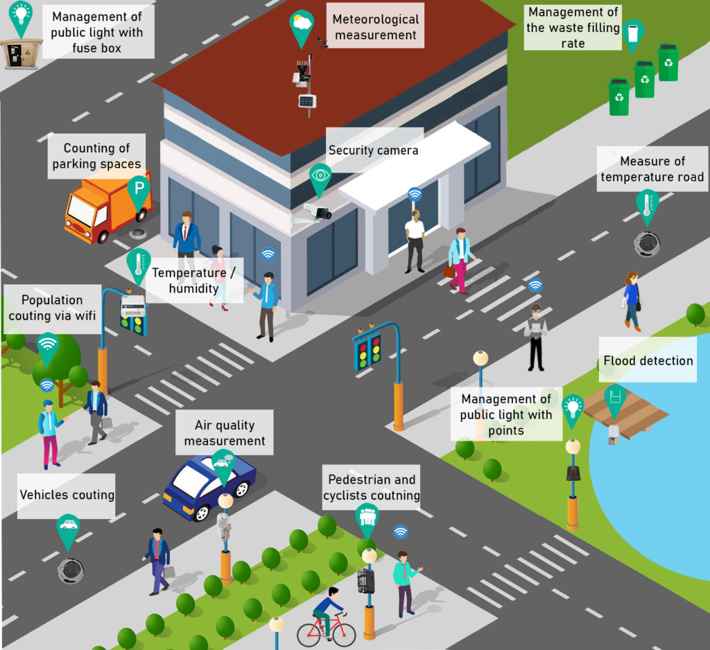
To optimize citizens mobility, it is possible to install sensors for vehicle counting, seat guidance or traffic light management to smooth traffic flow. The deployment of pedestrian/cyclist counting sensors allows spaces to be rearranged according to the number of people using them. It is also possible to geolocate public transport to inform users of general traffic conditions and possible delays. These solutions are all equally beneficial for the environment and the reduction of CO2 emissions.
Solutions for urban planning are numerous and may differ from one territory to another. It is possible to remotely manage public lighting to save money and the filling of waste to reorganize the rounds of the agents. By analyzing water and air quality, you can implement corrective actions to reduce pollution. It is also possible to manage public watering remotely while measuring the weather (temperature, wind, rain…) to program watering at the right time and reduce consumption.
Whether for schools or public buildings, it is possible to remotely monitor air quality, weather measurements (temperature, humidity, etc.), lighting and noise to optimize the comfort of users or staff. It is also possible to geolocate equipment to avoid loss or theft. Reduce energy and water consumption by monitoring them remotely and quickly identifying any leaks or energy losses.
Use counting to identify the number of pedestrians or cyclists in your area. You can then use this solution to optimize the configuration of your premises.
Measure temperature, humidity, barometric pressure, solar radiation etc. You can also measure the temperature of your roads to detect the onset of cold weather or manage heat islands.
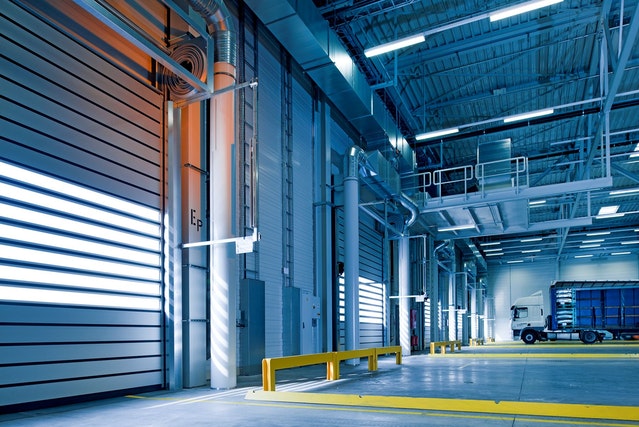
Several solutions can be deployed for Industry 4.0 such as geolocation of equipment or company vehicles to improve logistics (equipment inventory, vehicle maintenance, etc.). Inside, it is possible to monitor environmental data, noise, air quality etc. It is also possible to monitor the position of isolated workers to optimize their safety.
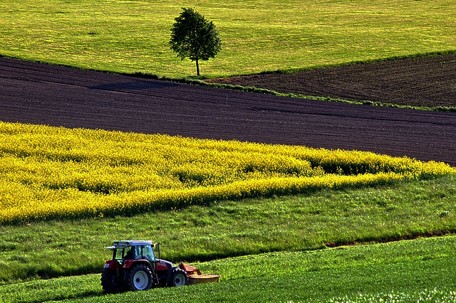
For the agricultural sector, environmental measurements, soil condition measurement or remote vineyard treatment allow for optimized logistical management and consistent decision making. It is also possible to geolocate livestock to facilitate assembly and avoid losses, and/or to geolocate equipment to quickly find its location.
The transport sector covers all public transport. It is possible to count users inside stations or vehicles to know the number of passengers. On maintenance sites, counting or geolocation systems can be installed to optimize worker safety. It is also possible to geolocate equipment to optimize logistics.